Why fronts matter on the coast
A front is not just a line on a map. It often marks a zone where wind, air mass, moisture, and local weather are changing. On coastal water that can feel practical very quickly because even modest wind shifts or building showers can change the comfort and margin of the day.
That is why front awareness matters so much for coastal plans. The issue is not simply whether rain arrives. It is whether the whole weather setup becomes less stable, less predictable, or less forgiving than it looked earlier.
Key takeaways
- Around coasts, fronts often matter because of wind shifts and changing conditions, not because of one barometer number alone.
- The local pressure trend can help confirm that a front-related change is building.
- Forecast, radar, sky, and the pressure curve work better together than separately.
What the pressure curve adds to a front day
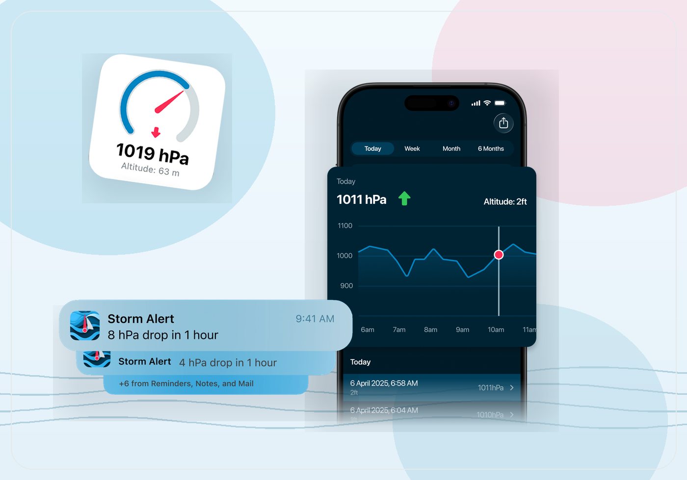
A pressure curve helps because it gives you a local history of whether the atmosphere has been steady, dropping, or recovering. If a front is expected and the graph has already been falling, that can support the idea that the change is becoming more real locally. If the graph is still flat, the front may not have started expressing itself strongly yet where you are.
This does not replace radar or marine forecasts. It complements them. The curve is one more way to ask whether the local atmosphere matches the broader pressure forecast or deserves more caution than the current calm might suggest.
How to use notes around a front passage
Notes are useful on front days because the details can blur together afterward. Save when the wind shifted, when the day stopped feeling easy, or when the weather turned earlier than expected. Tied to the pressure graph, those notes give you local memory that a generic forecast archive usually does not.
That is especially helpful if you launch from the same coast or bay often. Over time, you begin to recognize what a familiar front setup looked like in your own graph rather than relying only on abstract weather descriptions.
How Barometric Pressure fits coastal weather awareness
Barometric Pressure is useful here because it stays local, works offline once you already have the device, and keeps the graph, notes, and alerts together. For coastal weather, that is often enough. You do not need the app to predict the whole front. You need it to help you notice whether the local setup is starting to move.
That makes the app a support tool for coastal judgment. It helps you spot momentum in the weather picture and compare that momentum with what the sky, forecast, and water are already telling you.